37–54 z 93 výsledkov
Do auta
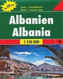
- oboustranná mapa - kilometráž silnic - reliéf terénu znázorněn stínováním - turistické a praktické informace zakresleny v mapovém podkladu - hranice národních parků - informační brožura také v českém jazyce - barevné ilustrační fotografie - rejstřík
12.26 €
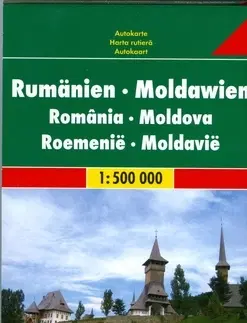
Romänien - Moldawien - Citypläne - Ortsregister mit Postleitzahlen - Touristische Informationen
12.26 €
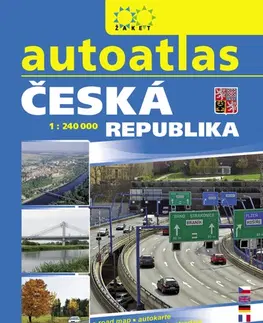
Aktualizované vydání Autoatlasu ČR v měřítku 1:240 000 ve formátu A4 s praktickou kroužkovou vazbou. 45 mapových listů zobrazuje přehledně silniční síť, součástí je rejstřík všech sídel s jejich PSČ, mapa správního členění ČR, průjezdní plány třinácti krajských...
11.64 €
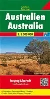
Obsahuje: - Plány miest - Aplské cesty - Zoznam obcí s poštovými smerovacími číslami
11.31 €
- Touristische Informationen - Autofähren - Ortsregister
11.31 €
Podrobná oboustranná automapa Polska v měřítku 1:500 000. Obsahuje: - silniční síť (hlavní i vedlejší) s kilometráží a čísly silnic - říční síť, přístavy, trajekty (včetně tras) - železniční síť - sídla, správní jednotky, regionální názvy - základní geografické...
11.31 €
Automapa obsahuje: - Turstické informácie - Register miest s PSČ - Vhodné pre GPS
11.31 €
Rozkládací mapa zobrazující území Vietnamu, Laosu a Kambodži v měřítku 1:900t.
11.31 €
Plány centier miest, Vzdialenosti v km, Zoznam obcí s poštovými smerovacími číslami
11.31 €
Automapa zobrazuje síť silnic s dopravními vzdálenostmi a větší sídla. Součástí mapového podkladu je stínovaný terén. Mapa obsahuje rejstřík sídel.
11.31 €
This road map foldable into a practical format contains detailed information suitable for motorists and other travelers planning to visit the given country or area. The road map features symbols indicating notable tourist attractions and public transportation.
11.31 €
Explore Bulgaria with this Freytag & Berndt map. The best way to plan your trip, prepare your itinerary, and to travel independently in this country. As with all Freytag & Berndt maps the cartography is clear and detailed with the topography shown by relief...
11.31 €
Mapa obsahuje: - Plán mesta; - Plavebné informácie; ...
11.31 €
Automapa v měřítku 1 : 500 000 (1 cm = 5 kilometry) zobrazuje kompletní síť silnic a dálnic s dopravními vzdálenostmi, dále všechna sídla a vybraný tematický obsah (hrady, zámky, kláštery, hotely, kempy apod.). Součástí mapového podkladu jsou lesy a stínovaný...
11.31 €
freytag & berndt Autokarten sind für viele Länder und Regionen weltweit erhältlich. Neben der übersichtlichen Gestaltung verfügt die Straßenkarte “Norwegen Süd” (Oslo – Bergen – Stavanger) über zahlreiche Zusatzinformationen wie z.B. Straßenbeschaffenheit,...
11.31 €
Neben der übersichtlichen Gestaltung bietet die Straßenkarte Norwegen – Mitte (Trondheim – Lillehammer – Alesund) 1:250.000 zahlreiche Zusatzinformationen wie z.B. Straßenbeschaffenheit, Sehenswürdigkeiten, Campingplätze. Mit dem umfangreichen Ortsregister...
11.31 €

Neben der übersichtlichen Gestaltung verfügt die Straßenkarte "Serbien Süd 1:200.000" über zahlreiche Zusatzinformationen wie z.B. Straßenbeschaffenheit, Sehenswürdigkeiten, Campingplätze und diverse Innenstadtpläne. Mit dem umfangreichen Ortsregister gelingt...
11.31 €